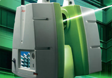
Laser scanning provides rapid acquisition of accurate 3D data in a time and cost-effective manner. The team at Middle East Survey Engineering (MESE) has the technical and practical expertise to utilize the latest technology and procedures, giving the client peace of mind knowing that they are getting unmatched, cost-effective and high accuracy survey work.
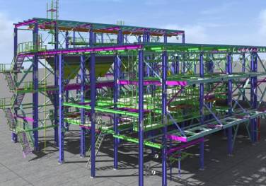
Designed to effectively capture 3D point clouds of an object’s surface, our laser scanning technology includes mobile mapping systems and terrestrial laser scanners. In addition to this, we can undertake any building information modelling or construction projects, and have the resources to create 3D models in any format or Level of detail (LOD). Our efficient team of local modelling specialists use the latest skills, software and customized automated extraction methods to retrieve the required data for a range of projects including the civil, construction, infrastructure and mining industries in Ras Al Khaimah and Fujairah (UAE) and internationally.